
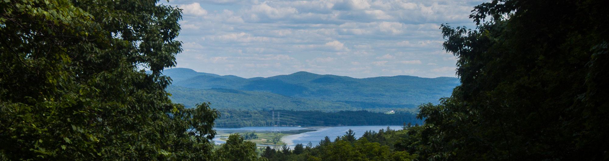
Fort Dummer
Park Updates and Alerts
- Do not bring firewood into Vermont state parks from outside the state, unless it is packaged, labeled, and heat-treated. The label must show it is certified by the USDA or another state’s agriculture department. To learn more, view our Camping Policies and Rules.
Park Information
517 Old Guilford Rd
Brattleboro, VT 05301
Friday of Memorial Day Weekend through Labor Day.
10am - official sunset
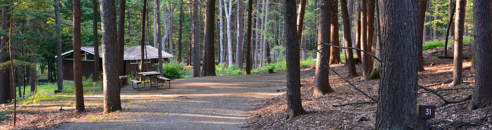
50 tent/RV sites, 10 lean-to sites
Pets are permitted throughout the park. Please clean up after your pets.
Welcome
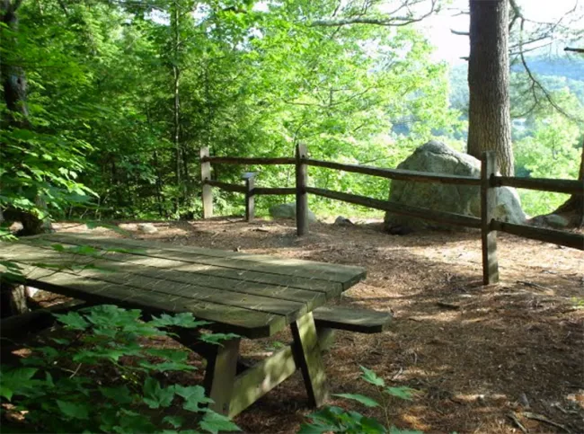
Fort Dummer State Park, in the Connecticut River Valley just outside Brattleboro, covers 217 acres of forested land.
The park is named for Fort Dummer, Vermont’s first permanent European settlement. Built in 1724 the fort served as a gateway to early settlements along the Connecticut River. Forty-three English soldiers and twelve Mohawk allies manned the fort in its first years. Later, it helped protect what was then part of Massachusetts from French and Indian attacks. Constructed from sturdy white pine logs, Fort Dummer performed its role well.
The park overlooks the fort’s original site. This location was flooded in 1908 when the Vernon Dam was built. Visitors can view the location from the northernmost scenic vista on the Sunrise Trail. Today, the fort lies underwater near a lumber company on the river’s western bank.
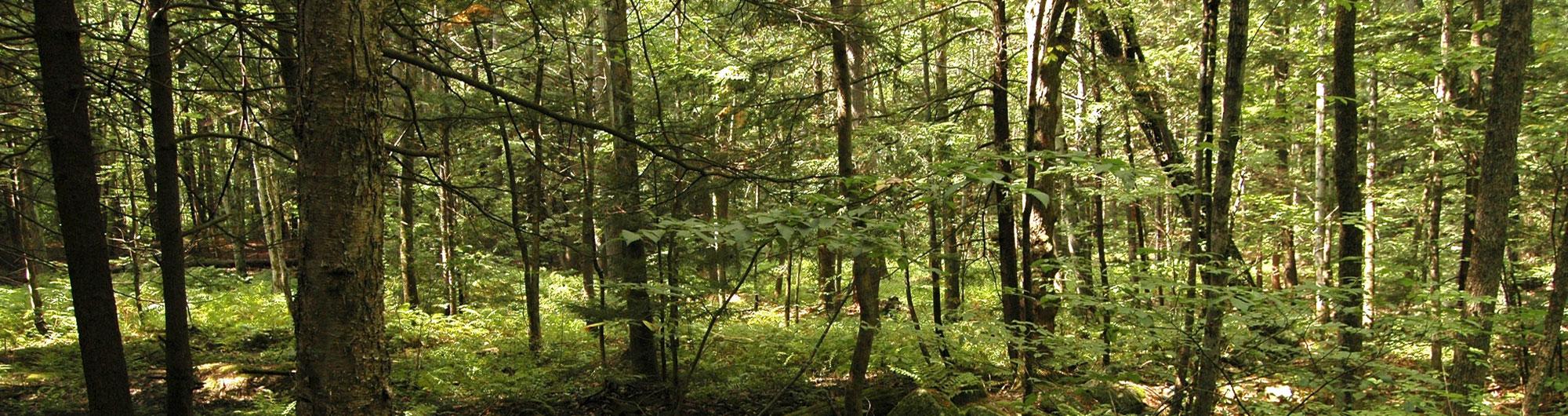
The park sits in the southern foothills of the Green Mountains. The forest here is more like southern New England than typical Vermont woodlands. The hardwood forest has white, red, and chestnut oaks as well as beech, maple, yellow birch, and white birch.
These oak trees provide food and shelter for gray squirrels, turkeys, and deer. Ruffed grouse also inhabit the park, drawn by the dense woods and open understory.
Facilities and Amenities
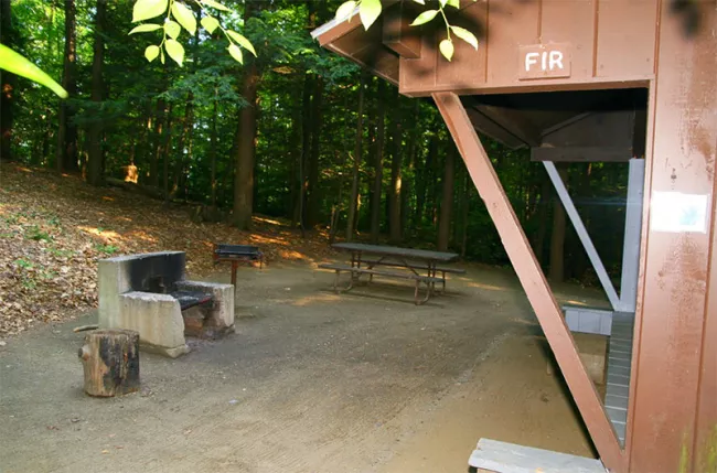
The campground has 50 tent/trailer sites and 10 lean-to sites. These are located in two adjacent areas and are served by two toilet buildings, both with token-operated hot showers. There is a sanitary dump station, but there are no hookups. The park has a small picnic area, hiking trails (one of which leads to a swimming hole), and a large open field.
At check-in, campers receive a PIN code to enter the campground through the electronic security gate.
